
File:Chiang Rai Thailand Wat-Rong-Khun-02.jpg

本预览的尺寸:800 × 533像素。 其他分辨率:320 × 213像素 | 640 × 427像素 | 1,024 × 683像素 | 1,280 × 853像素 | 2,560 × 1,707像素 | 5,940 × 3,960像素。
原始文件 (5,940 × 3,960像素,文件大小:15.8 MB,MIME类型:image/jpeg)
摘要
| 描述 |
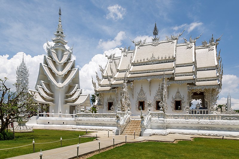
English: Chiang Rai, Thailand: Wat Rong Khun, also known as "The White Temple" |
|||
| 日期 | ||||
| 来源 | 自己的作品 | |||
| 作者 | CEphoto, Uwe Aranas | |||
| 授权 (二次使用本文件) |
|
|||
| 署名 (由许可协议要求) | Photo by CEphoto, Uwe Aranas / | |||

| 物体位置 | | 在以下服务上查看本图像和附近其他图像: OpenStreetMap |
|---|
|
|
Do not upload new revisions over this file version without my explicit consent. Instead, use the possibility to upload a new version under a new name and tag it as a derivate or extract of this file. |

|
|
This image was reviewed by the author using the Quality image guidelines. This self-assessment is to certify, that: |
||
|
|
||
| If you think, that the image is not meeting the standards of the image guidelines, remove this tag and write the reason in the edit summary. | |||

许可协议
我,本作品著作权人,特此采用以下许可协议发表本作品:
本文件采用知识共享署名-相同方式共享 4.0 国际许可协议授权。
署名: Photo by CEphoto, Uwe Aranas or alternatively © CEphoto, Uwe Aranas
- 您可以自由地:
- 共享 – 复制、发行并传播本作品
- 修改 – 改编作品
- 惟须遵守下列条件:
- 署名 – 您必须对作品进行署名,提供授权条款的链接,并说明是否对原始内容进行了更改。您可以用任何合理的方式来署名,但不得以任何方式表明许可人认可您或您的使用。
- 相同方式共享 – 如果您再混合、转换或者基于本作品进行创作,您必须以与原先许可协议相同或相兼容的许可协议分发您贡献的作品。
文件历史
点击某个日期/时间查看对应时刻的文件。
| 日期/时间 | 缩略图 | 大小 | 用户 | 备注 | |
|---|---|---|---|---|---|
| 当前 | 2017年6月27日 (二) 18:29 | | 5,940 × 3,960(15.8 MB) | Cccefalon | {{Bots|deny=DschwenBot}} =={{int:filedesc}}== {{Information |description={{en|1=Chiang Rai, Thailand: Wat Rong Khun, also known as "The White Temple"}} |date=2017-04-18 |source={{own}} |author=CEphoto, Uwe Aranas |permission={{User:C... |
文件用途
以下页面使用本文件:
全域文件用途
以下其他wiki使用此文件:
- fr.wikipedia.org上的用途