
File:Yemen relief location map.jpg

本预览的尺寸:800 × 523像素。 其他分辨率:320 × 209像素 | 640 × 418像素 | 1,024 × 669像素 | 1,280 × 836像素 | 1,693 × 1,106像素。
原始文件 (1,693 × 1,106像素,文件大小:958 KB,MIME类型:image/jpeg)
| 描述 |
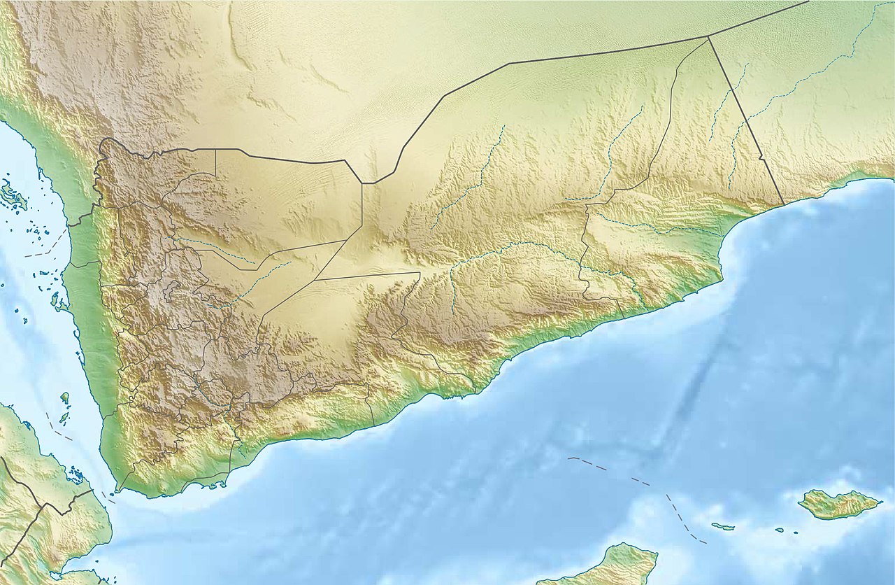
Deutsch: Physische Positionskarte vom Jemen
Quadratische Plattkarte, N-S-Streckung 104 %. Geographische Begrenzung der Karte:
English: Physical location map of Yemen
Equirectangular projection, N/S stretching 104 %. Geographic limits of the map:
|
| 日期 | |
| 来源 |
自己的作品, using
|
| 作者 | Carport |
| 授权 (二次使用本文件) |
本文件采用知识共享署名-相同方式共享 3.0 未本地化版本许可协议授权。
|
| 其他版本 |
|

文件历史
点击某个日期/时间查看对应时刻的文件。
| 日期/时间 | 缩略图 | 大小 | 用户 | 备注 | |
|---|---|---|---|---|---|
| 当前 | 2017年8月3日 (四) 19:28 | | 1,693 × 1,106(958 KB) | Mélomène | Soqotra and other islands |
| 2012年12月14日 (五) 18:46 |  | 1,693 × 1,106(751 KB) | Carport | {{Information |Description= {{de|Physische Positionskarte vom Jemen}} Quadratische Plattkarte, N-S-Streckung 104 %. Geographische Begrenzung der Karte: * N: 19.5° N * S: 11.4° N * W: 41.8° O * O: 54.7° O {{en|Physical location map of ... |
文件用途
以下5个页面使用本文件:
全域文件用途
以下其他wiki使用此文件:
- ar.wikipedia.org上的用途
- ast.wikipedia.org上的用途
- azb.wikipedia.org上的用途
- az.wikipedia.org上的用途
- bcl.wikipedia.org上的用途
- be-tarask.wikipedia.org上的用途
- bg.wikipedia.org上的用途
- bn.wikipedia.org上的用途
查看此文件的更多全域用途。