
File:Map of New York highlighting Queens County.svg

此SVG文件的PNG预览的大小:787 × 600像素。 其他分辨率:315 × 240像素 | 630 × 480像素 | 1,008 × 768像素 | 1,280 × 975像素 | 2,560 × 1,950像素 | 1,100 × 838像素。
原始文件 (SVG文件,尺寸为1,100 × 838像素,文件大小:66 KB)
摘要
| 描述 |
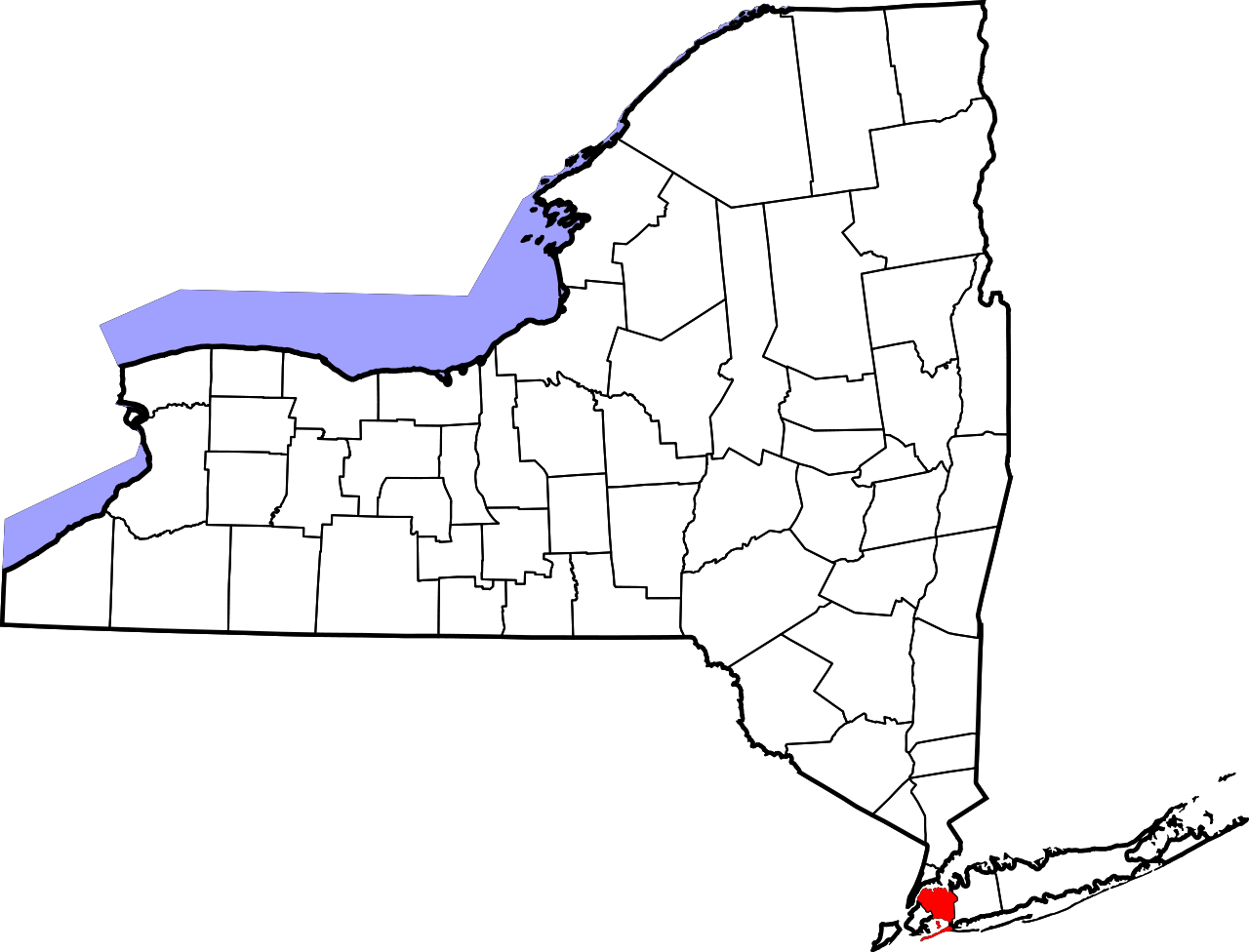
English: This is a locator map showing Queens County in New York. For more information, see Commons:United States county locator maps. |
| 日期 | |
| 来源 |
自己的作品: English: The maps use data from nationalatlas.gov, specifically countyp020.tar.gz on the Raw Data Download page. The maps also use state outline data from statesp020.tar.gz. The Florida maps use hydrogm020.tar.gz to display Lake Okeechobee. |
| 作者 | David Benbennick |
许可协议
| 我,本作品著作权人,释出本作品至公有领域。这适用于全世界。 在一些国家这可能不合法;如果是这样的话,那么: 我无条件地授予任何人以任何目的使用本作品的权利,除非这些条件是法律规定所必需的。 |
文件历史
点击某个日期/时间查看对应时刻的文件。
| 日期/时间 | 缩略图 | 大小 | 用户 | 备注 | |
|---|---|---|---|---|---|
| 当前 | 2024年6月25日 (二) 15:26 | | 1,100 × 838(66 KB) | Nux | uniform colors with good contrast |
| 2024年6月16日 (日) 20:27 |  | 1,650 × 1,257(66 KB) | Nux | fix rendering (remove clipping) | |
| 2006年2月12日 (日) 15:33 |  | 6,599 × 5,030(112 KB) | David Benbennick | {{subst:User:Dbenbenn/clm|county=Queens County|state=New York|type=county}} |
文件用途
以下页面使用本文件:
全域文件用途
以下其他wiki使用此文件:
- bpy.wikipedia.org上的用途
- ca.wikipedia.org上的用途
- cy.wikipedia.org上的用途
- de.wikipedia.org上的用途
- en.wikipedia.org上的用途
- List of counties in New York
- Long Island Motor Parkway
- Queensboro Bridge
- Jackson Heights
- Rockaway Inlet
- Flushing–Main Street station (IRT Flushing Line)
- Marine Air Terminal
- Jamaica Hills, Queens
- Wikipedia:WikiProject New York City
- Reformed Church of Newtown
- Fort Totten (Queens)
- John Bowne House
- Hawtree Creek
- Bayswater, Queens
- Queens County Farm Museum
- Kaufman Astoria Studios
- National Register of Historic Places listings in Queens, New York
- Douglaston Park
- Edgemere, Queens
- Auburndale, Queens
- Ambrose Channel
- Sunnyside Gardens, Queens
- Elmhurst Avenue station
- Court Square–23rd Street station
- Flushing High School
- Jacob Riis Park
- Bergen Basin
- Locust Manor, Queens
- TWA Flight Center
- Hammels, Queens
- Long Island City Courthouse
- Seaside, Queens
查看此文件的更多全域用途。