
File:Eaton canyon from the air.jpg
此为最大尺寸。
Eaton_canyon_from_the_air.jpg (688 × 457像素,文件大小:423 KB,MIME类型:image/jpeg)
摘要
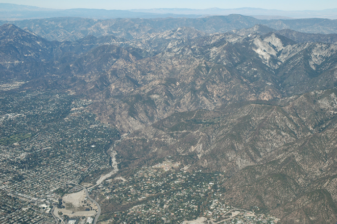
| 描述 | Eaton Canyon, reservoir and wash from the air |
| 日期 | 摄于2005年12月4日 |
| 来源 | Aerial Photography of Southern California |
| 作者 | Bruce Perry |
| 其他版本 | http://www.cnsm.csulb.edu/departments/geology/people/bperry//Aerial%20Photos%20for%20Alumni%20Grant/San%20Gabriel%20Mountains%20Flight%20December%202005/San%20Gabriel%20Mountains%20Flight%201%20Dec%202005/214PasadenaEatonCanyonResAndWashDec05S.jpg |
| 相机位置 | | 在以下服务上查看本图像和附近其他图像: OpenStreetMap |
|---|
许可协议
本文件采用知识共享署名-相同方式共享 2.0 通用许可协议授权。
- 您可以自由地:
- 共享 – 复制、发行并传播本作品
- 修改 – 改编作品
- 惟须遵守下列条件:
- 署名 – 您必须对作品进行署名,提供授权条款的链接,并说明是否对原始内容进行了更改。您可以用任何合理的方式来署名,但不得以任何方式表明许可人认可您或您的使用。
- 相同方式共享 – 如果您再混合、转换或者基于本作品进行创作,您必须以与原先许可协议相同或相兼容的许可协议分发您贡献的作品。
Errata
Credits - This web site was conceived of and produced by Bruce Perry of the Department of Geological Sciences at CSU Long Beach. If you have any questions or comments about the contents, please direct them to Mr. Perry at bperry@csulb.edu. All aerial and ground-based photographs are by Bruce Perry unless otherwise noted, and they can be used, with permission, for any nonprofit purpose.
Please credit photos to "Bruce Perry, Department of Geological Sciences, CSU Long Beach". For those wishing to use a photograph for business or other for-profit purpose, contact Mr. Perry for further information.
| 注解 | 该图片含有注解:在维基媒体共享资源上查看注解 |
文件历史
点击某个日期/时间查看对应时刻的文件。
| 日期/时间 | 缩略图 | 大小 | 用户 | 备注 | |
|---|---|---|---|---|---|
| 当前 | 2007年6月12日 (二) 00:48 | | 688 × 457(423 KB) | Evrik | {{Information |Description=Eaton Canyon, reservoir and wash from the air |Source=[http://www.cnsm.csulb.edu/departments/geology/people/bperry/Aerial%20Photography%20of%20Southern%20California/SanGabrielMountains.htm Aerial Photography |
文件用途
以下页面使用本文件:
全域文件用途
以下其他wiki使用此文件:
- ar.wikipedia.org上的用途
- azb.wikipedia.org上的用途
- ca.wikipedia.org上的用途
- ceb.wikipedia.org上的用途
- ce.wikipedia.org上的用途
- ckb.wikipedia.org上的用途
- en.wikipedia.org上的用途
- en.wikivoyage.org上的用途
- es.wikipedia.org上的用途
- eu.wikipedia.org上的用途
- ext.wikipedia.org上的用途
- fa.wikipedia.org上的用途
- fi.wikipedia.org上的用途
- fr.wikipedia.org上的用途
- glk.wikipedia.org上的用途
- lld.wikipedia.org上的用途
- pl.wikipedia.org上的用途
- pt.wikipedia.org上的用途
- ru.wikipedia.org上的用途
- sh.wikipedia.org上的用途
- simple.wikipedia.org上的用途
- sr.wikipedia.org上的用途
- tr.wikipedia.org上的用途
- tt.wikipedia.org上的用途
- uk.wikipedia.org上的用途
- vo.wikipedia.org上的用途
- www.wikidata.org上的用途
- zh-min-nan.wikipedia.org上的用途