
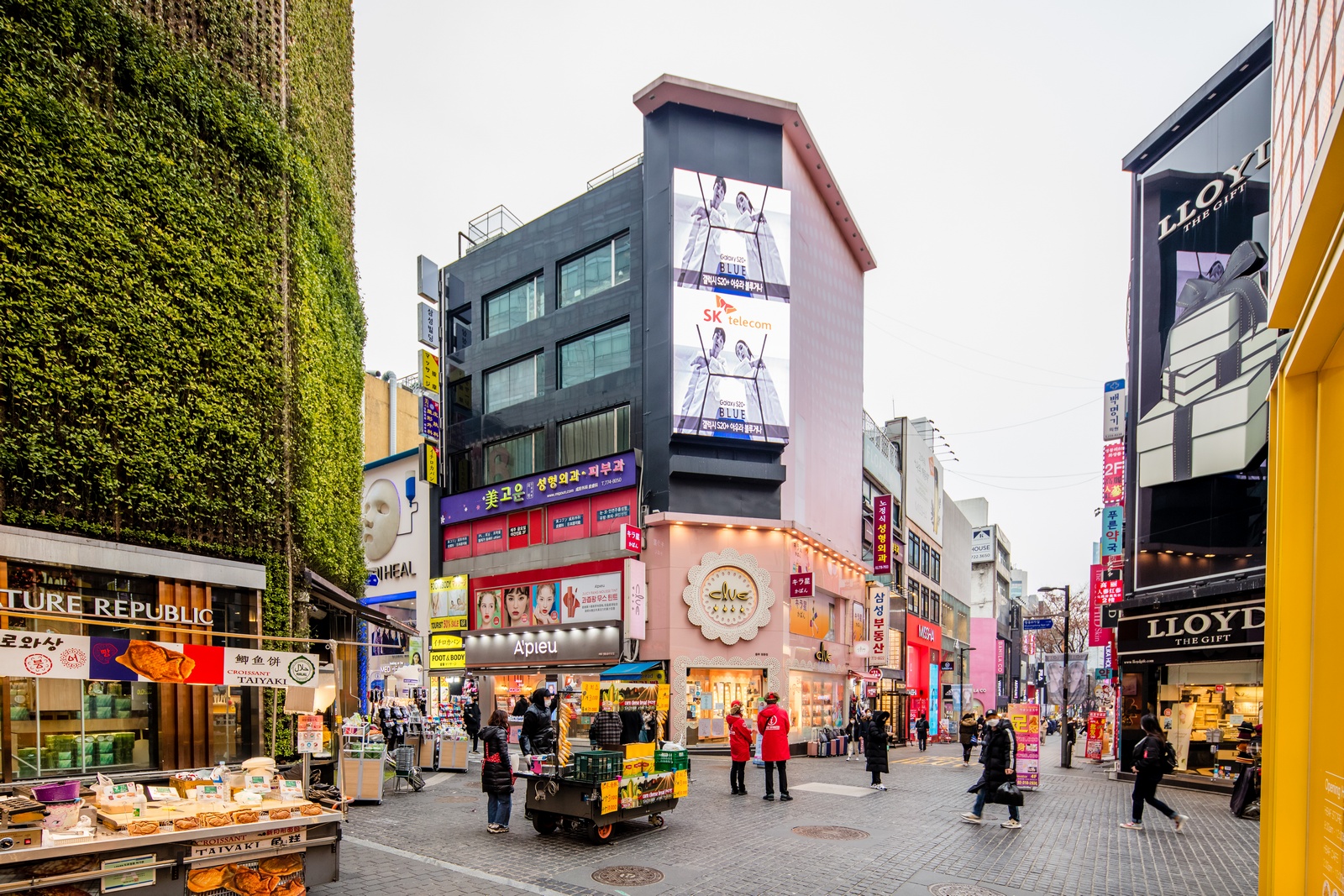
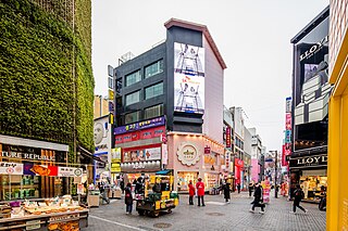
File:명동8길 거리 (2020.03).jpg
本预览的尺寸:800 × 534像素。 其他分辨率:320 × 213像素 | 640 × 427像素 | 1,024 × 683像素 | 1,280 × 854像素 | 1,600 × 1,067像素。
原始文件 (1,600 × 1,067像素,文件大小:875 KB,MIME类型:image/jpeg)
.jpg?uselang=zh-cn)
.jpg?uselang=zh-cn)
.jpg?action=history&uselang=zh-cn)
.jpg)
摘要
| 描述 |
한국어: 명동8길 거리 (2020년 3월) |
| 日期 | |
| 来源 | 사진으로 본 서울 |
| 作者 | 서울연구데이터서비스 |
| 相机位置 | | 在以下服务上查看本图像和附近其他图像: OpenStreetMap |
|---|
.jpg¶ms=037.561567_N_0126.985028_E_globe:Earth_type:camera_heading:338.00&language=zh-cn)
许可协议

|
This file is licensed under the Korea Open Government License Type I: Attribution.
|
|
文件历史
点击某个日期/时间查看对应时刻的文件。
| 日期/时间 | 缩略图 | 大小 | 用户 | 备注 | |
|---|---|---|---|---|---|
| 当前 | 2023年5月25日 (四) 05:44 | | 1,600 × 1,067(875 KB) | 밥풀떼기 | Uploaded a work by 서울연구데이터서비스 from [https://data.si.re.kr/node/64069 사진으로 본 서울] with UploadWizard |
文件用途
以下页面使用本文件:
全域文件用途
以下其他wiki使用此文件:
- en.wikipedia.org上的用途
- ko.wikipedia.org上的用途
- tl.wikipedia.org上的用途
- vi.wikipedia.org上的用途
.jpg)